Map projections and coordinate systems > Supported map projections
Krovak |
|
|
Release 9.2
Last modified August 3, 2007 |


Print all topics in : "Supported map projections" |
Description
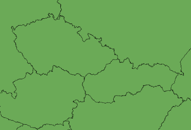
This projection is an oblique case of the Lambert Conformal Conic projection and was designed in 1922 by Josef Krovak. Used in Czech Republic and Slovak Republic. Also known as S-JTSK.
Learn more about the Lambert Conformal Conic projection
Projection method
Conic projection based on one standard parallel. An azimuth parameter tilts the apex of the cone from the North Pole to create a new coordinate system. A standard parallel in the new system, called a pseudo standard parallel, defines the shape of the cone. A scale factor is applied to the pseudo standard parallel to create a secant case.
Lines of contact
Two pseudo standard parallels.
Linear graticules
None.
Properties
Shape
Small shapes are maintained.
Area
Minimal distortion within the boundaries of the countries.
Direction
Local angles are accurate throughout because of conformality.
Distance
Minimal distortion within the boundaries of the countries.
Limitations
Designed strictly for Czech Republic and Slovak Republic.
Uses and applications
Used for topographic and other mapping in Czech Republic and Slovak Republic. The coordinates are usually positive to the south and west.
Parameters
Desktop
- False Easting
- False Northing
- Pseudo Standard Parallel 1
- Scale factor
- Azimuth
- Longitude of center
- Latitude of center
- X Scale
- Y Scale
- XY Plane Rotation