Illustrations of geoprocessing service clients
Illustrations of geoprocessing service clients
Release 9.3
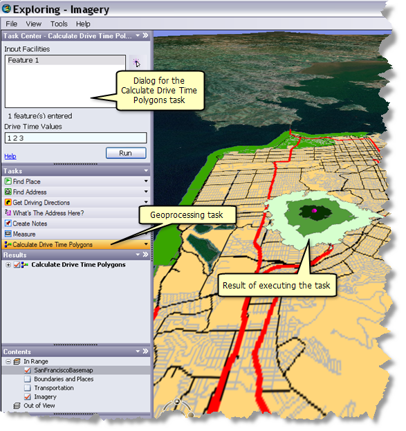
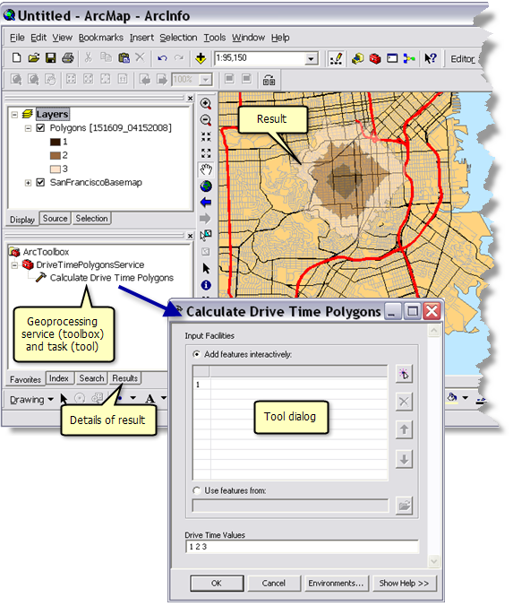
The illustrations below show a geoprocessing service that creates a drivetime polygon from a digitized point.
Custom Web application
ArcGIS Explorer
ArcGIS Desktop