Show Navigation
|
Hide Navigation
You are here:
Map projections and coordinate systems > Supported map projections
Map projections and coordinate systems > Supported map projections
Rectified Skewed Orthomorphic |
|
|
Release 9.2
Last modified August 3, 2007 |


Print all topics in : "Supported map projections" |
Related Topics
Description
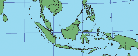
Rectified Skewed Orthomorphic (RSO)—this projection is provided with two options in ArcInfo Workstation for coordinate systems in Malaya and Borneo and is similar to the Hotine Oblique Mercator.
Projection method
Oblique cylindrical projection. A line of true scale is drawn at an angle to the central meridian.
Line of contact
A single, oblique, great-circle line.
Linear graticules
Two meridians 180° apart.
Properties
Shape
Conformal—local shapes are true.
Area
Increases with distance from the central line.
Direction
Local angles are correct.
Distance
True along the chosen center line.
Limitations
Its use is limited in ArcInfo Workstation to those areas of Borneo and Malaya for which the projection was developed.
In the ArcGIS Desktop applications, distortion increases rapidly away from the central line.
Uses and applications
Used for coordinate systems in Malaya and Borneo.
Parameters
Desktop
- False Easting
- False Northing
- Scale factor
- Azimuth
- Longitude of center
- Latitude of center
- XY Plane Rotation (Rectifying angle)
Workstation
- Enter: Brunei (1) or Malaysia (2)