Show Navigation
|
Hide Navigation
You are here:
Data support in ArcGIS > NetCDF: multidimensional, time series data > An overview of netCDF data
Data support in ArcGIS > NetCDF: multidimensional, time series data > An overview of netCDF data
About netCDF data |
|
|
Release 9.2
Last modified November 9, 2006 |


Print all topics in : "An overview of netCDF data" |
Related Topics
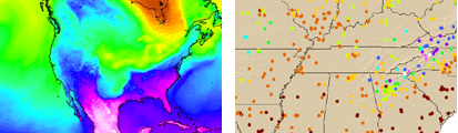
NetCDF (network Common Data Form) is a file format for storing multidimensional scientific data (variables) such as temperature, humidity, pressure, wind speed and direction. Each of these variables can be displayed through a dimension (such as time) in ArcGIS by making a layer or table view from the netCDF file.
Learn more about netCDF
Learn more about how to add netCDF data to ArcGIS