 Feedback
 E-mail this topic
 Print this topic
| Custom resources |
 Feedback Feedback
 E-mail this topic E-mail this topic
 Print this topic Print this topic
|
The Custom Resources properties page allows you to define resources that are available to your users right in the ArcGIS Explorer user interface. These capabilities allow you to use your application configuration to streamline the deployment of ArcGIS Explorer within your enterprise. These resources include basemaps, default GIS server and geodatabase connections, default e-mail content, reference to local help, and references to custom web services for place, address, and route finding.
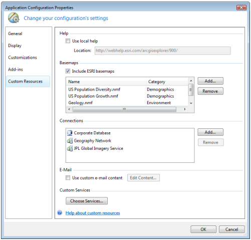
ArcGIS Explorer relies on access to the Internet for its help system, basemap content and software upgrades. If your organization’s security policies do not permit your users access to the Internet, you can host the ArcGIS Explorer help system and software upgrades locally within your firewall. You can then specify the reference to these local resources in your application configuration. To learn more about how to install the help system on your network
ArcGIS Explorer maps always include a basemap such as imagery or street map data that other content displays on. By using the Basemap gallery on the Home tab in the Ribbon, you can dynamically change the basemap you are using. By default, ArcGIS Explorer includes a number of basemaps from Esri including satellite imagery, street map information, topographic maps, and so on. You can supply additional basemaps so that they appear in the Basemaps gallery.
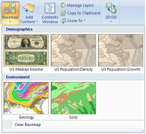
To include a basemap, click the Add... button and choose a basemap to add or browse for an .nmf to include as a new basemap. If you select an .nmf that has an image in the same folder with the same name, that image will be used as the icon for the basemap in the Basemaps gallery. You can also specify a category name if you want to organize your basemaps in the Basemaps gallery.
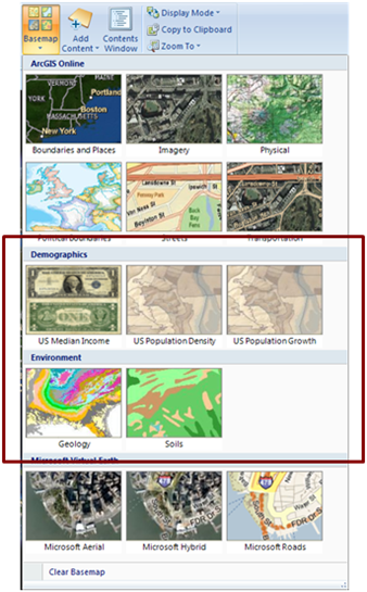
If you want your users to only choose the basemaps that you’ve defined and not use the Esri basemaps, you can un-check the Include Esri basemaps check box so they aren’t available in the Basemaps gallery.
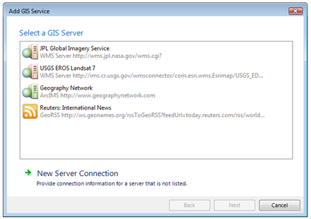
If your users add content to their maps from web services or geodatabases, you can specify connections that are available by default in the Add GIS Service and Add Geodatabase Data wizards. This allows your users to add content from these sources without having to know details about connection information such as URLs to services, geodatabase server names and so on. To add a connection, click the Add... button and choose the connections that you’ve made with ArcGIS Explorer you want to include.
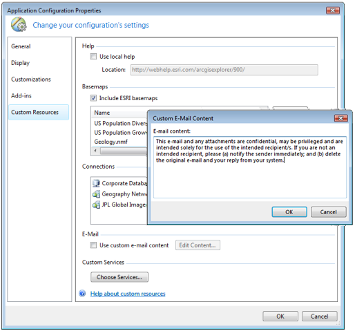
When you e-mail content from ArcGIS Explorer such as map content or the map itself as an attachment, an e-mail message with default content is created for you. You can override the default content used by Explorer by checking Use custom e-mail content. To specify the content, click the Edit Content… button and type the text you want to appear by default in the body of the e-mail in the Custom E-Mail Content dialog.
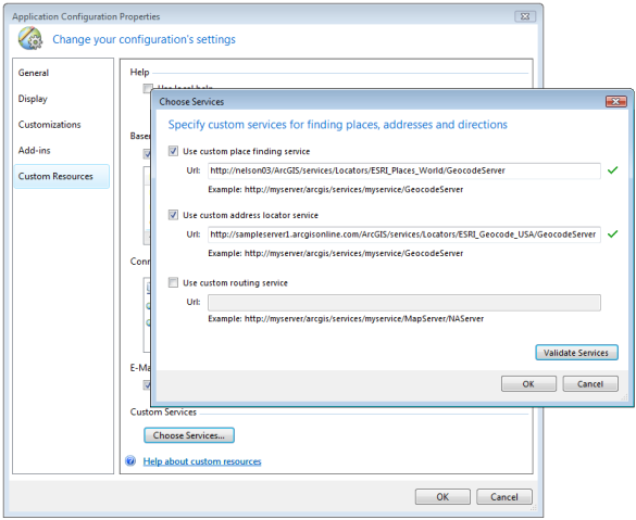
The find places, address and directions functionality of ArcGIS Explorer makes use of web services hosted on ArcGIS Online. If you have your own ArcGIS Server geocode service or network analysis service, you can direct these functions to use your web service rather than the ArcGIS Online services.
Click the Choose Services button to display the Choose Services dialog. Check the functionality that you want to make use of your own services for and specify the URL to the web service. To verify you’ve specified a valid URL, click the Validate Services button. When you specify custom services, Explorer’s Find, Find Directions, and Find Route windows will use the services you’ve specified instead of the ArcGIS Online-hosted services.
