Viewing OGC services


Viewing OGC services |
|
| Release 9.3 |
|
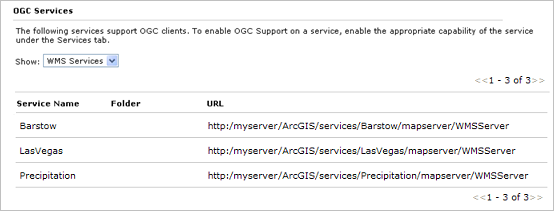
The Open Geospatial Consortium, Inc. (OGC) has published specifications for serving and retrieving maps over the Internet in a common way. These include Web Map Services (WMS) for serving maps, Web Feature Services (WFS) for serving vector features, and Web Coverage Services (WCS) for serving raster data. When you publish certain types of services with ArcGIS Server, you can choose to expose them through OGC specifications.
In Manager you can view a list of the OGC services running on your server and their URLs: