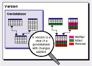
To illustrate how versions can be used, follow this scenario from a municipal water utility. The water utility has a geodatabase of features representing the current state of all of the water pipes, valves, pumps, and other components of the water system. The utility needs to add a new line extension to the water system.
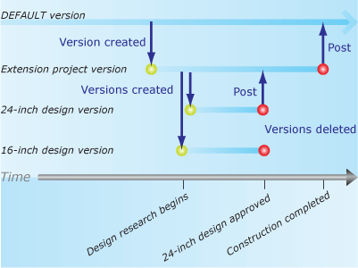
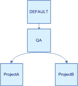
The utility creates a new version from the DEFAULT version called Extension project, which is to contain the design of the new extension. However, the utility staff are unsure whether to go with a 16-inch or a 24-inch pipe design for the new extension. So, from the Extension project version, they create a version to study the 16-inch design and another to study the 24-inch design.
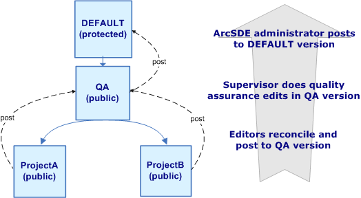
They eventually discover the 24-inch pipe will serve projected water demand for 12 more years and that the greater initial construction cost is justified. The 24-inch design wins approval, is checked for accuracy, and posted to the Extension project version.
A few months later, the construction of the new line extension completes. To update the published version of the database, the Extension project version is reviewed for accuracy, reconciled, and posted to the DEFAULT version.



 How versions and versioned edits work
