Using the GPS position |
| Release 8 |


|
-
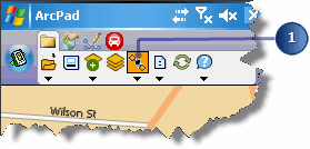
Tap the GPS Active button.
-
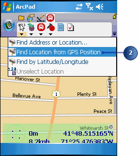
Tap the Find Location dropdown arrow and tap Find Location from GPS Position.
A
GPS location is used to reverse geocode an address. The result is displayed on
the map as a location. For more information on using GPS receivers in
ArcPad, see Connecting your GPS
receiver