What can you do with ArcPad StreetMap?


What can you do with ArcPad StreetMap? |
|
| Release 8 |


|
With ArcPad StreetMap you can expect high-quality cartographic maps with advanced symbology showing many levels of detail, including parks, interstates, major roads, and minor roads.
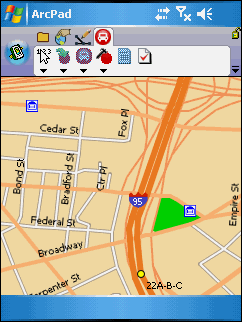
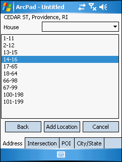
Geocoding—also known as address matching—is the process of creating geometric representations for descriptions of locations. In ArcPad StreetMap you can geocode by using the Find Address tool to type an address.
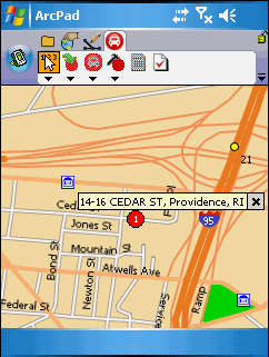
In ArcPad StreetMap you can also use your pen to tap a location on the map—a technique called reverse geocoding—to find an address. When you do this, a callout appears with the address of the location you tapped.

ArcPad StreetMap enables you to take advantage of geocoded locations by turning them into route stops, barriers, or pushpins. They are valuable in helping ArcPad StreetMap generate a route, that you need and help you to see at a glance what your next stop is and what obstacles, such as roadwork, are being avoided by taking a different street.
ArcPad StreetMap uses the stop locations and barriers you created to generate a route. The route is highlighted on the map with numbered stops as well as numbers that are associated with the driving directions so you can easily follow along with or without the driving directions.
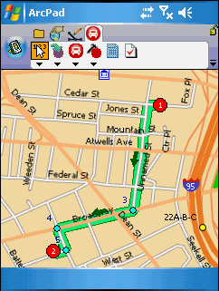
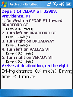
Driving directions generated by ArcPad StreetMap are user friendly; you can toggle between the map and the directions and click on a numbered step in the directions to take you to the corresponding turn on the route.
