
|
Drawing and displaying topologies in ArcMap |
|
| Release 9.3 |    |
 Access the display properties for a topology layer just like any other map layer—by right-clicking the layer name and clicking Properties. Then, click the Symbology tab to change the drawing properties for your topology.
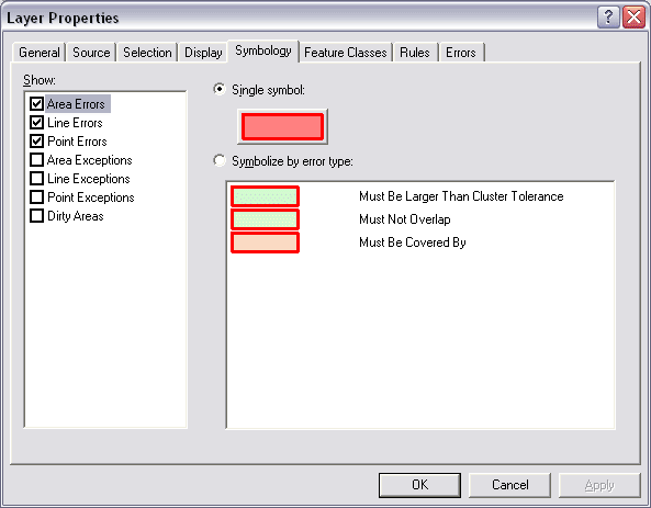 This panel provides choices based on the contents and rules in your topology to view errors, exceptions, and the status of dirty areas. See this link for more details on what information is stored in a topology.
The primary focus of the display properties for a topology in ArcMap is to help you edit your topology and its underlying feature classes. See About topology editing for more details.
This panel provides choices based on the contents and rules in your topology to view errors, exceptions, and the status of dirty areas. See this link for more details on what information is stored in a topology.
The primary focus of the display properties for a topology in ArcMap is to help you edit your topology and its underlying feature classes. See About topology editing for more details.