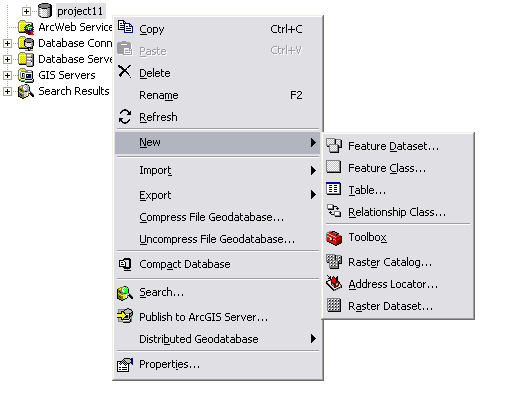
New dataset types to create| Type |
Description |
|---|
| Feature class |
A collection of features of the same type (such as wells, parcels, and streets) with a common set of attribute fields |
| Feature dataset |
A set of thematically related feature classes (typically used to manage a topology, network, or terrain) |
| Table |
Attribute tables used for many purposes |
| Relationship class |
Used to create an association between records in one table and records in another |
| Raster dataset |
A single raster or image data layer covering an extent |
| Raster catalog |
An organized collection of images such as a series of image tiles covering an area |
| Address locator |
A dataset of features with addresses and rules for geocoding against the features |
| Geoprocessing toolbox |
A series of user-created geoprocessing tools, scripts, and models |
| Schematic dataset(requires ArcGIS Schematics extension) |
A dataset used with ArcGIS Schematics for graphically representing network connectivity and other properties |


 You can link to a selected topic below to learn more about working with each dataset type in the geodatabase.